
Description
010-C1290-00 Garmin Carto U.S. South
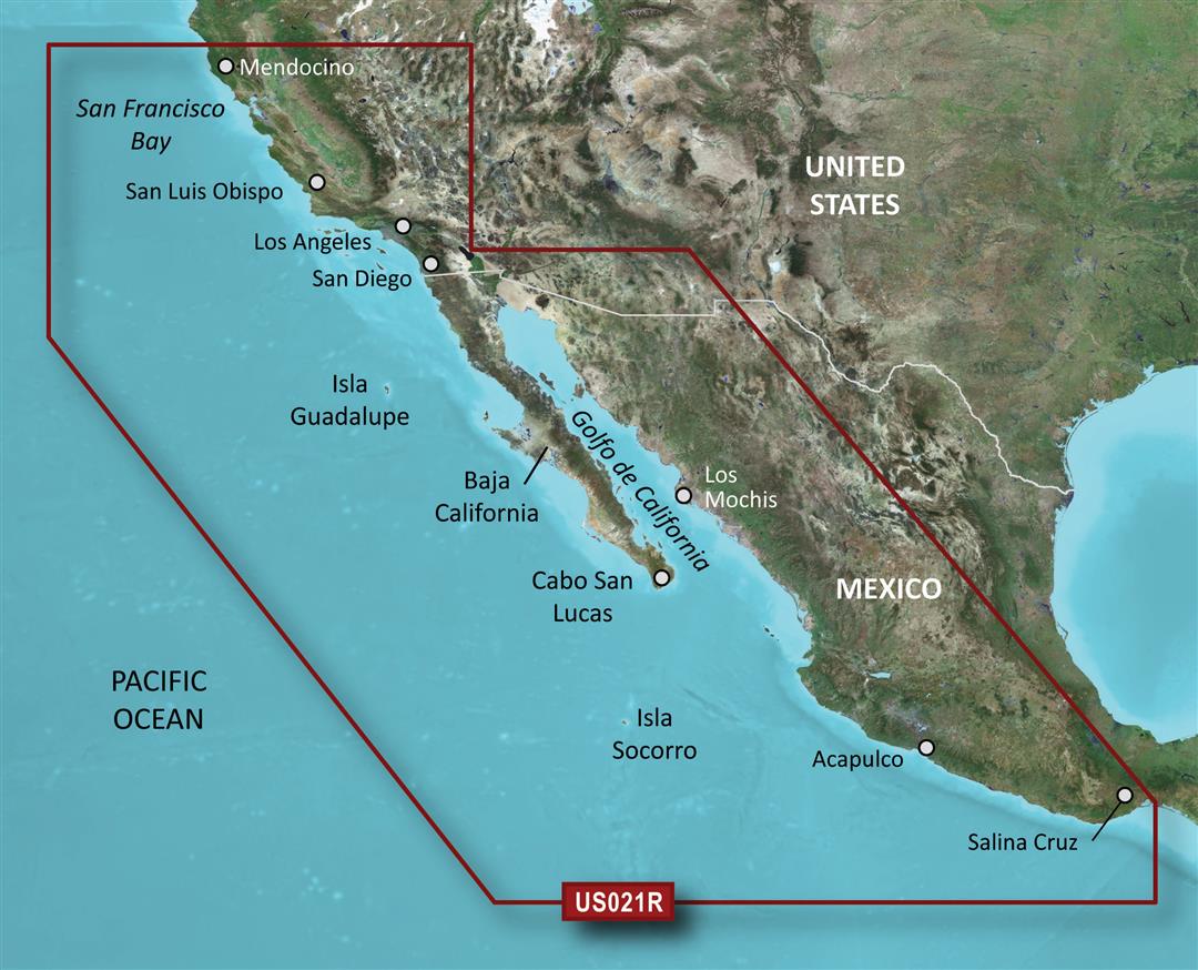
The Garmin 010-C1290-00 Marine Cartography chart is designed to provide boating and marine enthusiasts in the southern U. . with essential navigational data for safe exploration of coastal waterways.
- Covers the region from the Gulf Coast of southern Texas through the Atlantic Coast of Florida, Georgia, and the Carolinas
- Includes information on channels, marinas, ports, wrecks, obstructions, and more
- Features high-definition electronic mapping with GPS-enabled navigation for precise location determination and course plotting
- Delivers paper chart-level detail for planning and day-of recreational and commercial boating activities
- Provides hazard warnings, tide station data, and navigation aids for worry-free outings on the water
- Offers the most up-to-date electronic cartography available for safe and easy navigation of the southern U. . coastal waters
Whether exploring the Intracoastal Waterway, cruising Florida’s coastline, or navigating the Gulf Islands, the 010-C1290-00 Southern U. . cartography from Garmin ensures the mapping detail needed to navigate the region’s extensive waterways with confidence.


Reviews
There are no reviews yet.